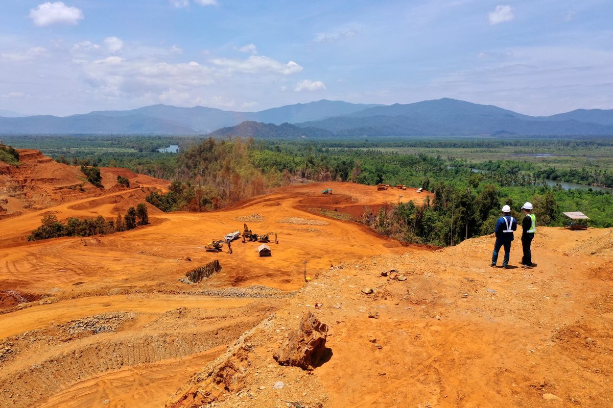
Satellite imagery can expose illegal mining. AI can flag environmental degradation in real time. But without the institutions to act on that intelligence, the data is worthless. That is the blunt message Ghana's Ministry of Lands and Natural Resources delivered on Wednesday, November 11, at the Africa Geospatial Leadership Forum 2026.
Geoffrey Osafo-Osei Jnr., the Acting Technical Director for Lands at the Ministry of Lands and Natural Resources, told the forum that emerging technologies — including satellite imagery and artificial intelligence — were genuinely opening new doors for monitoring environmental change and improving decision-making across Ghana's land sector.
But he was equally direct about their limits.
"Technology, however advanced, cannot replace responsible leadership. A satellite image may reveal environmental degradation, but it takes institutions to intervene. A risk map may identify vulnerable communities, but it takes money and investment to prevent them."
The statement lands at a moment when Ghana's battle against galamsey — illegal small-scale gold mining — remains one of the country's most persistent environmental crises. Rivers have been poisoned, forest reserves hollowed out, and farmlands destroyed, often faster than enforcement agencies can respond.
Earth Observation as a Tool — Not a Solution
Osafo-Osei acknowledged that earth observation technologies offered real opportunities: monitoring environmental changes, assessing degraded land, and enabling more targeted interventions in affected communities. The potential is there. The gap, he argued, is in execution.
"When combined with field verification and effective enforcement, these capabilities can strengthen our ability to protect the natural resources on which so many livelihoods depend."
That pairing — remote sensing plus boots on the ground — is increasingly central to how governments across Africa are thinking about AI-assisted environmental monitoring. Ghana's challenge is making sure the institutional side keeps pace with the technological one.
Land Administration and Investor Confidence
Beyond galamsey, Osafo-Osei pointed to land administration as another area where geospatial tools could deliver significant gains — if used properly. Uncertainty over land boundaries and applicable land-use restrictions continues to create headaches for ordinary citizens and businesses alike, he noted.
He said prospective investors need to be able to access reliable data about land parcels, understand planning restrictions, identify environmental risks, and make informed decisions before committing capital.
"This is the kind of confidence we must work towards," he said.
He cited Ghana's ongoing Strategic Land Administration Reforms project as part of the government's broader push to modernise the sector — including the use of satellite technology to improve public access to land information and services. The project is also aimed at expanding the country's geospatial information coverage to support both forestry management and land administration nationwide.
Rural Communities Cannot Be Left Behind
Osafo-Osei was careful to stress that digitalisation is not a silver bullet. Systems have to actually respond to the needs of rural communities, not just urban planners and business investors. Data has to be reliable. And institutions, he emphasised, have to work together — not in silos.
"Our institutions must work together and the systems we develop must respond to rural, public and business needs."
It is a pointed reminder that the gap between acquiring technology and deploying it effectively is where many well-funded public sector initiatives stall. Ghana has invested in digital tools for resource protection before — the results have been mixed precisely because the institutional scaffolding was not always in place.
The Ministry's position, as articulated at the Africa Geospatial Leadership Forum 2026, is that geospatial intelligence's real value lies not in what it can detect, but in what it can change — and change requires leadership, funding, and coordinated institutions ready to translate data into action.